The weather across South Africa on Saturday, 13 September 2025, is characterised by fine to partly cloudy conditions in most regions, while several provinces can expect thunderstorms and showers, particularly in the afternoon.
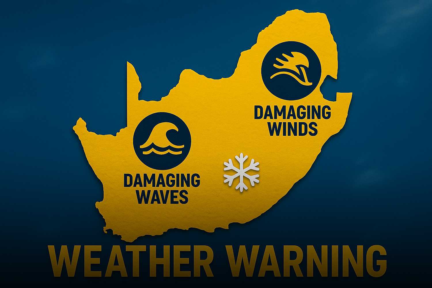
A Yellow Level 2 warning has been issued for parts of KwaZulu-Natal, where severe thunderstorms may lead to localised flooding and minor infrastructure damage.
Meanwhile, fire danger conditions persist across several inland regions as warm and dry spring conditions continue in line with the seasonal forecast outlook.
Weather warnings issued for Saturday, 13 September 2025
- Yellow Level 2 Warning: Severe Thunderstorms
- Affected Areas: Most of KwaZulu-Natal, excluding the extreme northern parts (including cities such as Durban, Pietermaritzburg, Richards Bay, and East London).
- Explanation: This warning level indicates a moderate likelihood of severe weather with potential localised impacts. Residents can expect damaging winds, hail, excessive lightning, and minor flooding. This could lead to damage to informal housing and roads, poor visibility, and increased accident risk on wet and slippery routes.
- Extremely High Fire Danger Conditions
- Regions Affected:
- Lowveld regions of Limpopo (e.g., Polokwane, 28°C) and Mpumalanga (e.g., Mbombela, 31°C)
- Western parts of the North West (e.g., Vryburg, 29°C) and Free State (e.g., Bloemfontein, 25°C)
- Central and eastern Northern Cape (e.g., Kimberley, 28°C; Upington, 30°C)
- Explanation: These fire conditions mean there is a very high potential for the rapid spread of wildfires. All open flames and outdoor burning should be avoided, and local fire authorities should remain on high alert.
- Regions Affected:
Seasonal climate outlook
According to the South African Weather Service’s seasonal forecast, the country remains in a neutral ENSO phase, with above-normal rainfall expected in the north-eastern regions through early summer.
If current trends toward La Niña continue, confidence will increase for a wetter summer.
However, much of the central and western interior remains warmer and drier than usual, aligning with today’s elevated fire danger risks.
Above-normal temperatures are also forecast for the coming weeks, which is consistent with today’s observed highs across multiple provinces.