The South African Weather Service (SAWS) has issued severe weather warnings for Cape Town and other parts of the Western Cape, expecting severe thunderstorms on Wednesday, 3 July 2024.
Weather warnings issued for these parts of the Western Cape
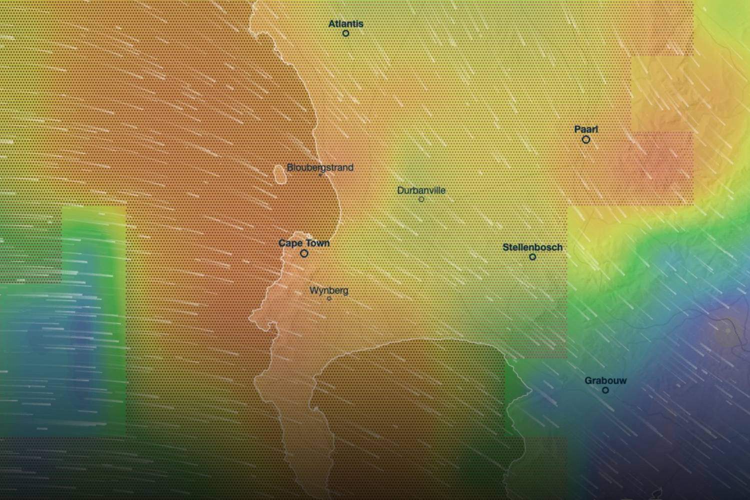
SAWS has issued a Yellow Level 2 warning for disruptive rainfall and damaging coastal winds affecting multiple regions in the Western Cape.
These warnings are effective on Wednesday, 3 July 2024, and include:
Yellow Level 2 Warning for Disruptive Rainfall:
- Expected in the City of Cape Town, Swartland, Stellenbosch, Drakenstein, and western Overberg municipalities.
- Potential impacts include localised flooding of roads and vulnerable settlements, motor vehicle accidents due to slippery roads, and reduced visibility.
Yellow Level 2 Warning for Damaging Coastal Winds:
- Expected between Saldanha and Cape Agulhas, spreading to Plettenberg Bay by the evening.
- Potential impacts include difficulty navigating at sea, with small vessels and personal watercraft at risk of taking on water and capsizing.
Residents in these areas are advised to exercise caution and stay informed about weather updates. Local authorities have been alerted to prepare for potential emergencies and disruptions.
Severe thunderstorms expected in Cape Town on Wednesday, 3 July 2024
Severe thunderstorms and heavy rainfall are forecasted for Cape Town and surrounding areas on Wednesday, 3 July 2024.
The weather pattern will bring significant precipitation and strong winds throughout the day:
- Morning:
- Light drizzle expected early in the morning, with temperatures around 13°C at 05:00.
- A low cut-off weather system approaching from the southeastern coast will bring 0.06mm of drizzle in patches by 06:00.

- Midday:
- Heavy rainfall and thunderstorms are predicted to intensify along the coastline from Atlantis to Hermanus by 12:00, with precipitation reaching 6.1mm.
- Temperatures are expected to be around 14°C.

- Afternoon:
- The weather system will continue to impact the region, with torrential rainfall and thunderstorms covering the coastline and extending inland to areas such as Ceres and Worcester by 15:00. Precipitation will peak at 9.4mm, with temperatures rising slightly to 15°C.
- Strong winds and heavy rain showers may damage infrastructure, leading to increased electricity service requests and potential delays in repair times.

- Evening:
- Severe weather conditions will persist across Cape Town as the system moves towards the Northern Cape. Heavy rainfall and thunderstorms will continue, with an additional 5.2mm of precipitation expected by 18:00.
- Light rainfall (0.1mm) will persist as the system exits the Cape skies in a northeasterly direction by 21:00.

The City of Cape Town has issued a warning regarding the potential impact on electricity services due to the inclement weather.
Strong winds and heavy rain often lead to damaged infrastructure, resulting in high volumes of service requests.
The City has assured residents that repair teams will attend to issues as quickly as possible, provided it is safe to do so.
Residents are urged to use only one reporting channel to avoid duplicate service requests.